

Heavy rain forecast for later in the week
Register for free to read more of the latest local news. It's easy and will only take a moment.

After a settled and cool start to the week, wet and windy conditions will take over by midweek with the possibility of disruptive rainfall, warns the Met Office.

Wet and increasingly windy weather will initially move into the southwest on Tuesday, eventually spreading more widely across the UK through Wednesday.
An established area of high pressure over Scandinavia will cause the fronts to stall over Scotland leading to persistent heavy rainfall in the region through much of Thursday and Friday.
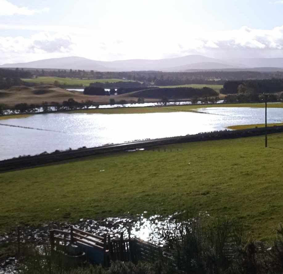
A Yellow National Severe Weather Warning for rain has been issued for central and eastern Scotland where some exceptional rainfall totals could accumulate over two or three days, mainly, but not exclusively over high ground. Further warnings will likely be issued through the week

.
Heavy rain across eastern parts of Scotland is set for Thursday from 6am
Stay #WeatherAware⚠️ pic.twitter.com/0ADJ5pwLe2
Deputy Chief Meteorologist, Steven Keates, said: “Many parts of the UK will see a very unsettled spell of weather through the second half of the coming week, into next weekend.
"A number of areas have the potential to see a lot of rain as well as strong winds at times. Of particular concern at the moment is eastern and central Scotland where some exceptional rainfall totals could build up, falling on ground already saturated after recent heavy rainfall. This could lead to some significant and widespread disruption.
“With such an unsettled and potentially impactful spell of weather we recommend you stay up to date with the forecast for your area and keep an eye on warnings from the Met Office, SEPA and local authorities.”
Further ahead
Low pressure is forecast to remain in charge of the UK’s weather into the start of next week, with potential for further spells of wet and windy weather.
"You can keep up to date with the latest forecast on our website, by following us on Twitter and Facebook, as well as on our mobile app which is available for iPhone from the App store and for Android from the Google Play store."