

Cairngorm ski resort hopes for early snow windfall
Register for free to read more of the latest local news. It's easy and will only take a moment.

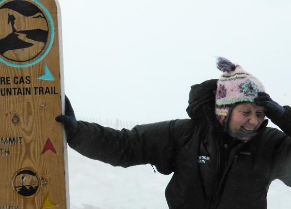
Cairngorm Mountain hopes that the early snow will be a timely boost for visitor numbers for the October half-term holidays.
The snow arrived late last night and resulted in a covering down to around 900 metres above sea level at the ski resort.
The cover is up to 30 centimetres in places near the summits where it has been windblown but that is not enough for skiing.
However, resort bosses are hoping it could encourage families to wrap up warm and head to the attraction once the school hols start tomorrow.
A spokesman for CairnGorm Mountain said: "Up to five centimetres of snow fell in parts of the mountain above about 900 metres last night and created drifts up to about 30 centimetres deep.
"More snow and hail is forecast for overnight tonight but it is going to turn to wet snow by Saturday and melt away."
He said that as temperatures and wind had picked up through the day, some of the snow had already started to disappear.
The spokesman continued: "We started skiing in mid November last year although our season is normally during the December to April period.
"We expect the possibility of seeing snow-capped mountains from the Ptarmigan viewing terrace in early October to draw lots of customers to come and ride the funicular.
"We are also expecting lots of families to come to do the walk at the top to the summit and to join in the free half term activities we have planned such a tree planting, search dog demonstrations and exploration trails."
The forecast for the rest of today is for more snow to fall and it has been feeling a very chilly -14C because of the wind chill factor at the resort.
The latest weather report for CairnGorm Mountain states: "Showers, occasionally merging together, giving sudden whiteout as snow falls to around 700m, hail below.
"Thunder likely. Temperature at 900 metres is 2C feeling as cold as -14C directly in the wind."
James Madden, forecaster with the on-line service www.ExactaWeather.com, has already told the Strathy that the rain will turn to snow earlier than normal this year.
Madden said early last month: "As we head towards winter and in terms of the Scottish Highlands, I expect to see the first signs of some moderate to heavy snowfalls as early as October or November.
"In terms of the meteorological winter, I expect December, January, and February to experience below average temperatures, with the worst of the snowfall occurring around November to January."
He said that the impact of low solar activity and ocean behaviour alter atmospheric circulation and block jet stream patterns enhancing moisture in the air which falls as snow.
It even snowed on the highest tops of the Cairngorms at the end of August. Dr Adam Watson, an expert on the range’s snow patches, said that the snow on the 28th was the most persistent snowfall for that month since 1945.