

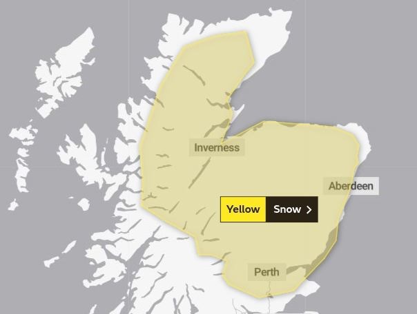
Warnings of up to 40cm of fresh snow issued by Met Office; alert covers all of Badenoch & Strathspey and many other parts of the Highlands, with the most intense snowfalls expected on the highest routes

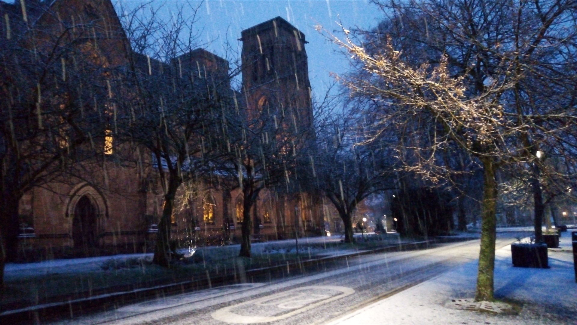
HIGHLANDERS woke up to heavy snow on Wednesday morning as the region braced itself for further falls – amid three weather warnings from the Met Office linked to Storm Christoph.
All three warnings are for snow, with the first expiring at rush hour on Wednesday morning – but not before it brought further wintry scenes to the Highland capital and beyond.
The second alert, also for snow and ice, is currently in force and runs until 11.59pm. It is warning of one to two centimetres of further snow at lower levels and up to 5cm on the highest routes.
But it is the third, which follows immediately on from the second and runs throughout all of Thursday, that is likely to cause the most disruption - amid warnings of up to 40cm of snow on the highest routes overnight and through Thursday.
However even low levels could see five to 10 centimetres of snow in some places.
Commenting on tonight’s third warning, a Met Office spokesman said: “An area of rain associated with Storm Christoph will push in from the northeast, turning readily to snow away from coasts and at even modest elevation.
“Snow accumulations of 5-10cm are possible in places at low levels whilst 10-15cm is likely above around 200m with perhaps 30-40cm above 400m.
“Along north facing coasts and particularly north Aberdeenshire the precipitation will stay as rain with widely 20-30mm of rain falling during the period and a few sites perhaps seeing around 50mm.
“In addition strong winds will develop through Thursday with gusts of 60mph along the north facing coasts perhaps an additional hazard. These stronger winds will also lead to very poor conditions where snow falls with blizzard conditions at times over higher ground. Inland from the coast with wet snow likely this may lead to icing on infrastructure, such as power lines.”
Related news: UPDATE: Storm Christoph snow warning extended to cover much of Highlands