

Icy blast expected to bring snow and travel disruption to Highlands
Register for free to read more of the latest local news. It's easy and will only take a moment.

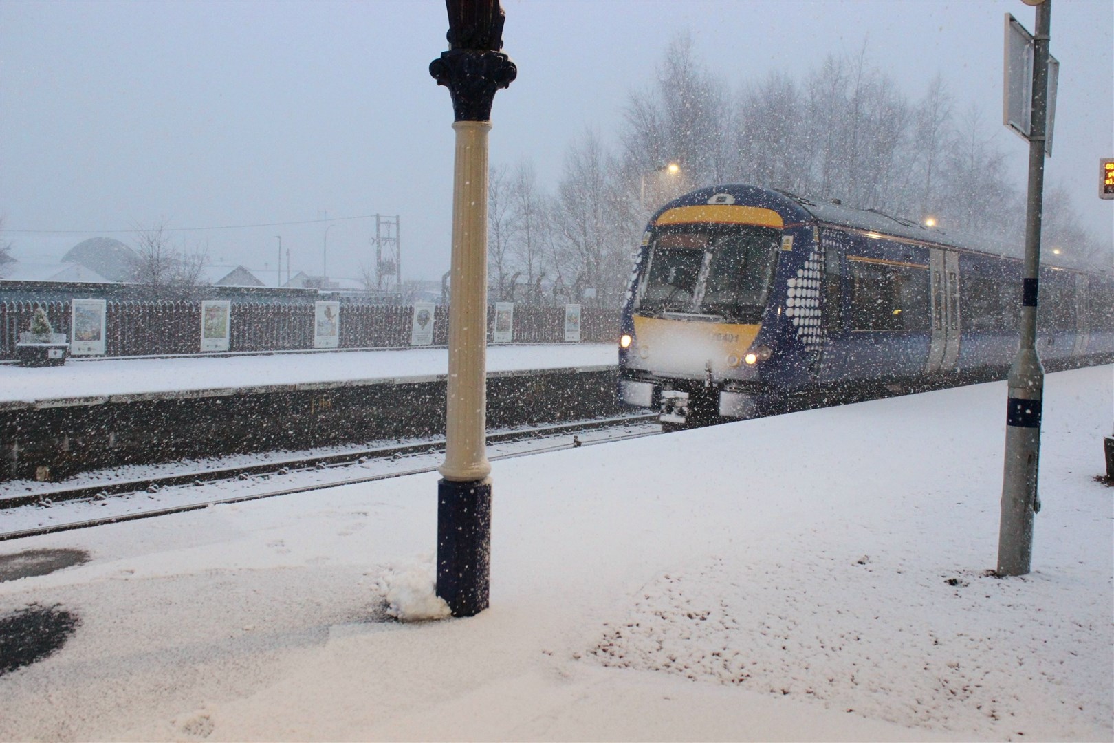
The first snow of the winter at village level could hit Badenoch and Strathspey and other parts of the Highlands from tomorrow evening.
A weather warning has been issued with freezing temperatures expected to bring snow and ice throughout much of the Highlands and Western Isles.
The Met Office ‘yellow alert’ will come into force at 6pm tomorrow and remain in place until noon on Thursday.
The national weather forecaster expects snow showers and icy stretches to cause possible travel disruption overnight and into morning.
Members of the public are being warned to expect longer journey times by road, bus and train services.
A Met Office spokesman said: “Frequent showers will increasingly turn to snow on Wednesday night and persist into Thursday morning, although these are likely to fall as sleet and hail at times, mainly around coasts.
“North-west Scotland looks most exposed to these showers with 2cm (0.7ins) of snow accumulating by Thursday morning in places even to low levels.
“Larger accumulations are expected at higher elevations with 2-5 cm (0.7ins-1.9ins) above 200m (656ft) and up to 10cm (3.9ins) over some of the highest routes.”
Temperatures are expected to fall through the rest of this week and barely reached above freezing on Thursday with snow and sleet showers to continue into and over the weekend.